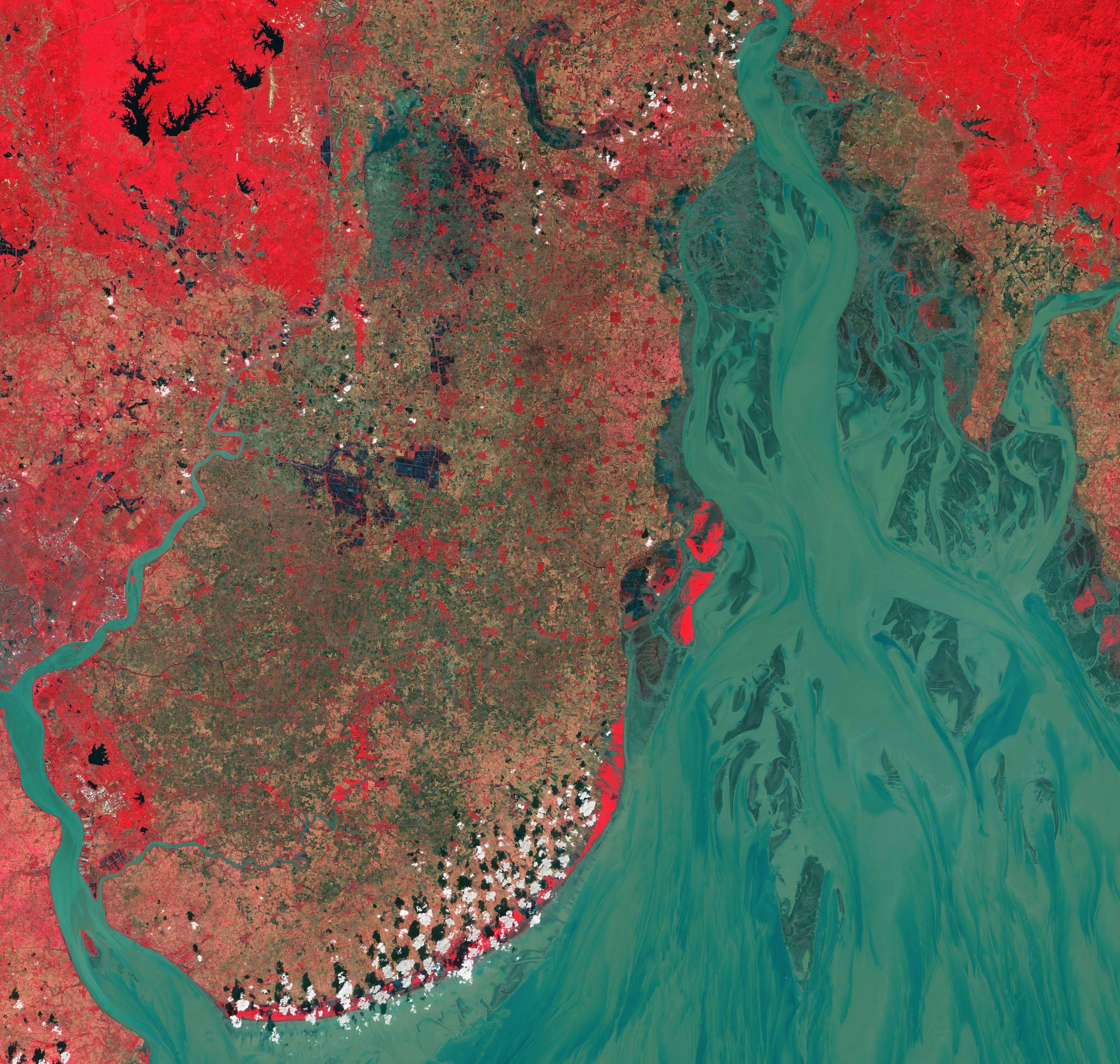
This September blackshark.ai started a new research project in collaboration with the Austrian Space Applications Programme (ASAP). This project, called AI4LULC, will unleash our deep learning models on the massive open geodata sets provided by Copernicus, the European Union’s earth observation program. The project will build on already effective methods for machine and deep learning for land use and land cover (LULC) mapping. There will be a focus on determining meaningful indicators for cities and their surroundings.
For this scientific endeavor, we have partnered with Joanneum Research, an internationally renowned research institute based in Graz, Austria. Joanneum Research’s Remote Sensing and Geoinformation Group are leading experts in geodata analysis, environmental monitoring, and multisensorial data collection. For this project, we will utilize SAR and multispectral data from the Sentinel 1 and Sentinel 2 satellites. Joanneum Research’s extensive experience with Copernicus’ Sentinel satellites (the main geodata source of AI4LULC) is the ideal scientific expertise to compliment blackshark.ai’s machine learning excellence.
Until now, all large-scale LULC products have been generated by human operators in massive manual labeling processes. AI4LULC will contribute to innovative automated LULC analysis methods, especially for urban areas, by combining the latest advancements of Earth observation with the power and scalability of state-of-the-art AI for semantic geospatial analysis.
The project’s results will translate into scientific innovation and economic use cases for blackshark.ai’s digital twin services. Our goal is to inspire further research for future Digital Twin Earth applications and other geospatial services that process semantic inputs in large quantities.
Author: Thomas Menzel-Berger, Research Manager


